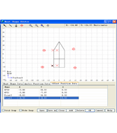
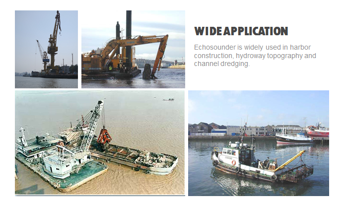
PowerNav software is a new generation marine Surveying software developed on VC++6.0 platform. PowerNav can work together with all brands of GPS receiver and other devices. It is already widely applied in Ocean Depth Survey, waterway survey, ocean exploration and positioning, pilling, dredging, setting-out and other constructions.
• Professional engineering map sheet, data management and wizard parameter setting.
• High compatibility, support different graphs and data, accessible to different GPS device.
• Customized format for data export.
• Modular designed meets diverse needs of hydrographic engineering projects.


